Agriculture Drone Solutions
Measure Australia provides data and tools to help increase the success of performance across all types of Agriculture. Our tools can be applied to all phases of farming and output production.
Measure Australia utilises thermography primarily for livestock production. Using this technology, we can detect numbers of livestock in geographical locations, or track herds while mustering in the scrub. This technique is very relevant to apiarists for monitoring swarms. It is also beneficial to sanctuaries who want a low impact way of seeing growth in numbers without displacing the habitat.
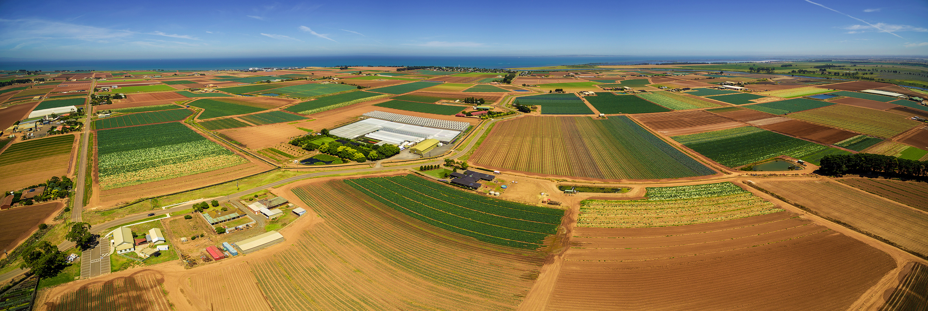
Aside from thermography, Measure Australia employs other technology in agriculture. Additionally, these include using infrared and multispectral technology to assess and report on crop production. The data that we can provide on crops ranges from vegetation density, to plant health to the population of weeds. Having this information in real time can save a whole orchid from pests.
Visual reports of crop production through time-series animations can show the precise development of a crop. Having this history can reveal production inefficiencies, enabling better crop management. As soon as a sickness is discovered, farmers can apply and monitor remedies more precisely. Most importantly these two possibilities increase a plant’s ability to overcome diseases.
In the case of crop failure, the data Measure Australia provides can enable the farmer to document losses more efficiently for insurance claims.
Furthermore, LiDAR laser scanning is a service Measure Australia provides to provide survey grade data which can help farmers to plan watercourses, drainage, dams and irrigation, and assess the gradient of the landform. This data can also be used for to produce precise 3-D maps for early soil analysis, which is especially useful in planning seed planting patterns.