Construction Drone Solutions
Real-time awareness and accuracy have always been challenges on construction sites. However, drones are now able to provide the data required at each phase of the construction process.
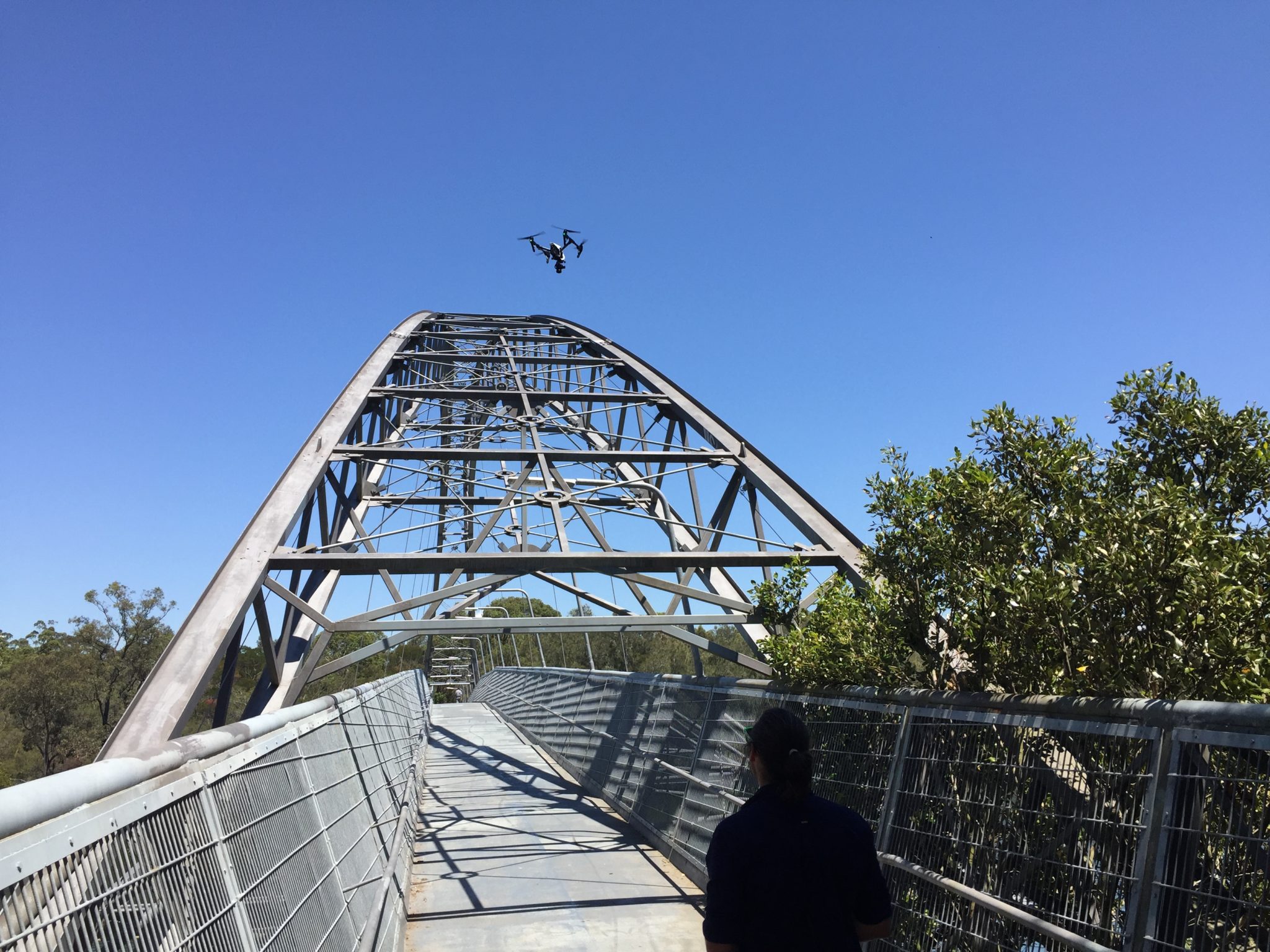
During the pre-construction phase, improved drone captured field data can significantly improve the speed and quality of the design process. Measure Australia can capture high-resolution videos and images, enabling 3D modelling and providing data for stakeholders before work even commences. Further to this, Measure Australia’s industry-leading survey-grade LiDAR laser mapping systems are the only modern-day surveying option.
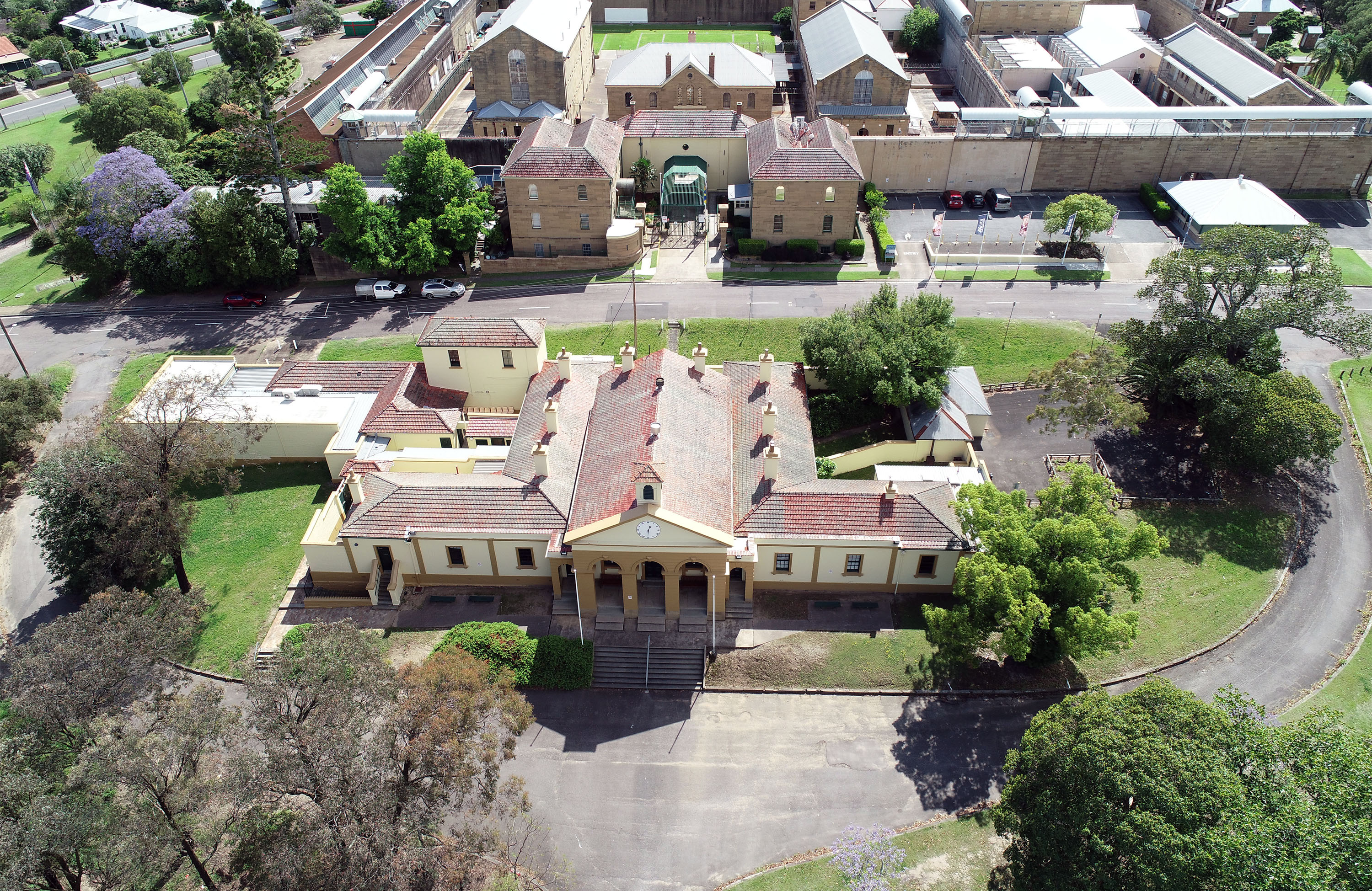
Measure Australia processes information efficiently which gives contractors fast access to complex data, including Orthophotography, in turn enabling a swift reaction and reduces delays in the build phase.
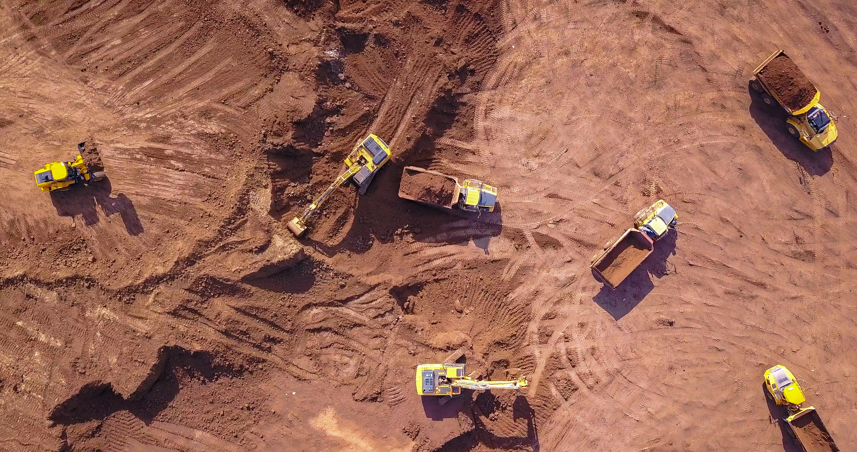
A construction site can be a dangerous place; Measure Australia can also deploy services to increase safety by performing hazardous work, and by monitoring construction areas for possible sources of risk and accidents.
In the last phase of construction, UAVs can be used for final work assessment, environmental impact verification and reporting. The data collected can be further used for maintenance and marketing purposes.