Resources Drone Solutions
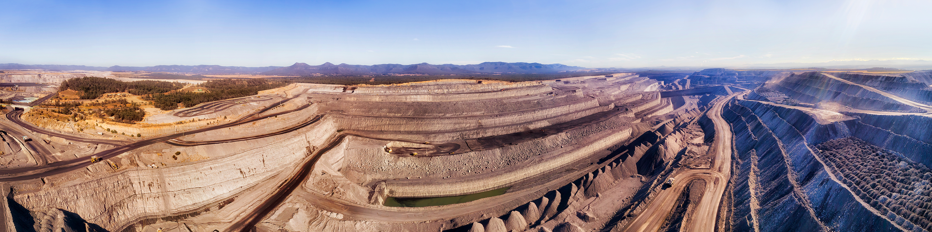
Measure Australia specialises in multiple methods of inspection, mapping and surveying for resource sites. Resource sites often cover many square kilometres, on varying surface levels, which translates into long routes for land vehicles and crew.
Drones can be used to quickly map the area, quantify stockpiles, optimise hauling routes and provide control information for sites such as mines. Our data enables operators to communicate their plans, make reports, receive updates on work progress and manage pit and dump areas. Measure Australia’s services can quickly assess and monitor potential storm damage to sites such as solar farms; provide geotechnical and hydrological data for establishment of sites, map steep, inaccessible inclines, and monitor surface stability.
Other assistance Measure Australia can provide for natural resources includes mapping geological forms to create 3D models for educational purposes and to track erosion and degradation.
Using Measure Australia’s technology allows companies to cut costs and accelerate the entire process while providing more detailed information about the assets. It also increases workplace safety, as rotary-wing drones can fly into places that are difficult to reach without risking human lives.
Ordinary stocktaking is dangerous, time-consuming, and labour-intensive, using advanced technology such as optical barcodes and radio frequency tags (RFID), makes the process safer and much more efficient.