Drones have broad applications across a variety of industries with significant improvements to workflows a key feature of drone uptake in traditional industries. Surveying is one industry where traditional methods result in high costs to customers, slow product delivery and low quality of data.
Every time land is subdivided or built upon, surveyors are brought in to plot out individual points to map the gradient of the land. Surveyors determine, measure and represent land, three-dimensional objects, point-fields and trajectories. With this information, they interpret land and geographically related information, from which they can ascertain the most efficient planning and administration of the land, the sea or structures.
Video: a real time LiDAR laser scan from WestConnex, Australia’s largest infrastructure project.
Traditional survey methods are inaccurate and challenging to surveyors, because of the time-consuming nature. Each point must be plotted out and surveyed individually, with average distances between points being up to 20 metres. Measure Australia uses state of the art LiDAR laser scanning technology to supply surveyors with point clouds of up to 1.4 million points per second, which could exceed 10,000 points per square metre.
Surveyors can interpret data that has been collected using this technology to make accurate measurements on the land without being misled by features such as buildings and natural boundaries like rivers and hills. With developments in technology, traditional equipment may be eliminated, enabling surveyors to spend more time interpreting data which truly is the specialist part of surveying.
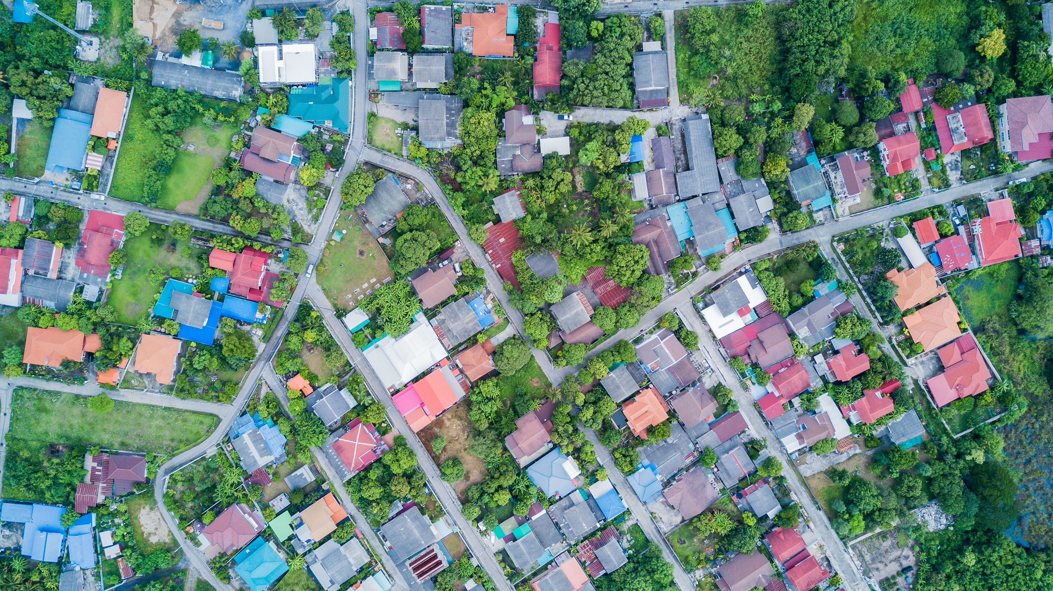
Drones can also collect aerial photography of the land in high resolutions of up to 50 megapixels enabling collection of data points from the land in a short time. It is essential to understand that drone data communicates a lot of information about the land including an ideal land use.
Drone based surveying will help in cost reduction for the surveyors and clients as the cost of labour is high in Australia. Drone based surveying dramatically reduces labour and increases accuracy. This method of data collection also provides the surveyors with backup information.
Measure Australia’s survey grade data acquisition methods provide more accurate data and also reduces the time required for surveying and mapping; this, in turn, reduces the cost of surveying.