Drone services expand in Australian mining
Traditional practices in mine monitoring and surveying are being revolutionised by the latest advancements and applications of drone technology.
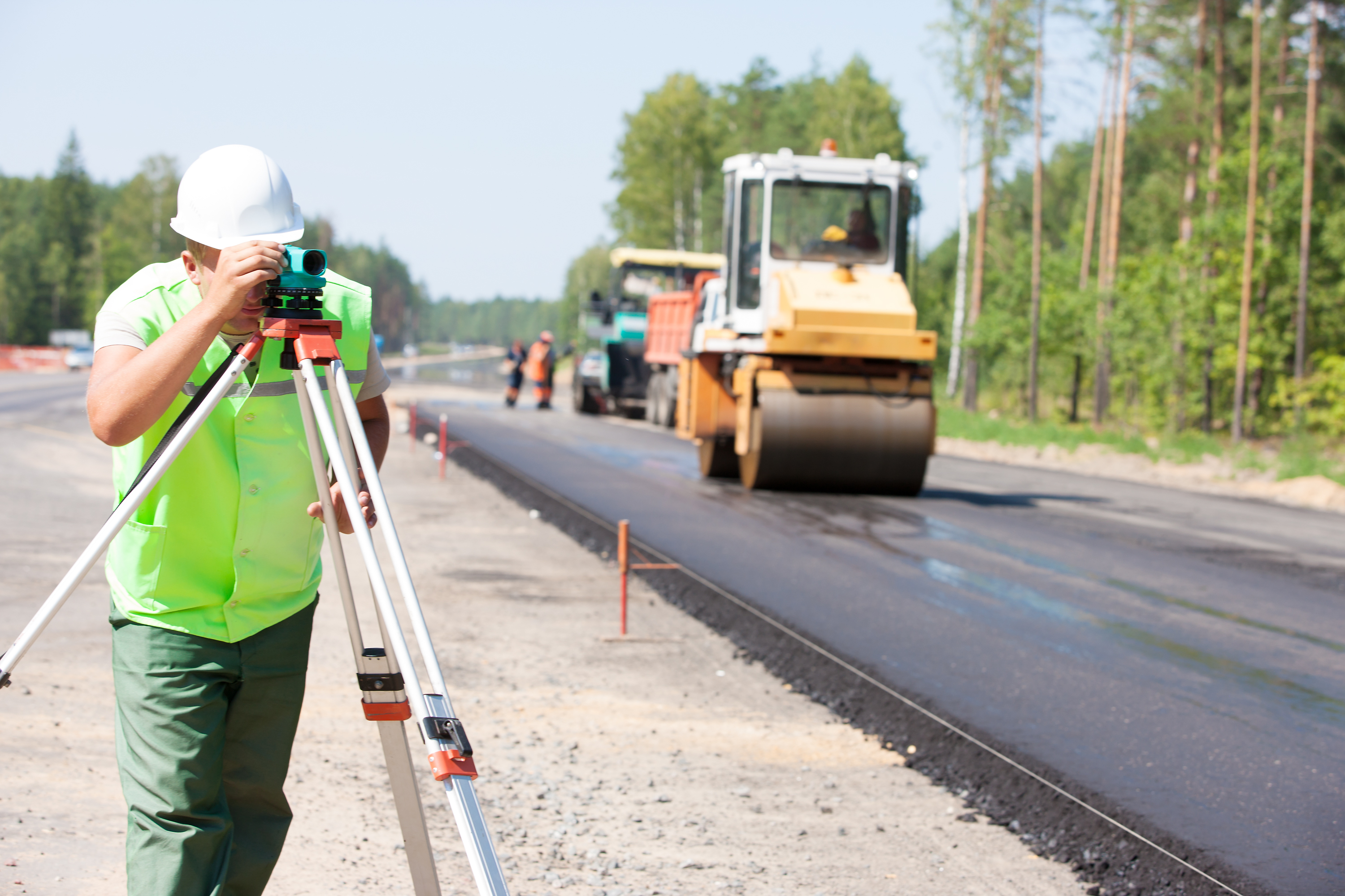
Safety, oversight, and security are just three important areas being enhanced by the application of drones within the mining, and surveying industries.
Over the last 10 years, rapid advances in UAV (unmanned aerial vehicles) technology has led to a steady increase in their popularity in mapping, mining, and surveying settings.
Full 3D and 4D images can be generated by drones incorporating cameras and LiDAR. Full contour maps, digital terrain and surface models can be created by integrating photogrammetry software. These are all vital tools in the accurate planning, administration, and development of successful mine site production.
Drones and Mining
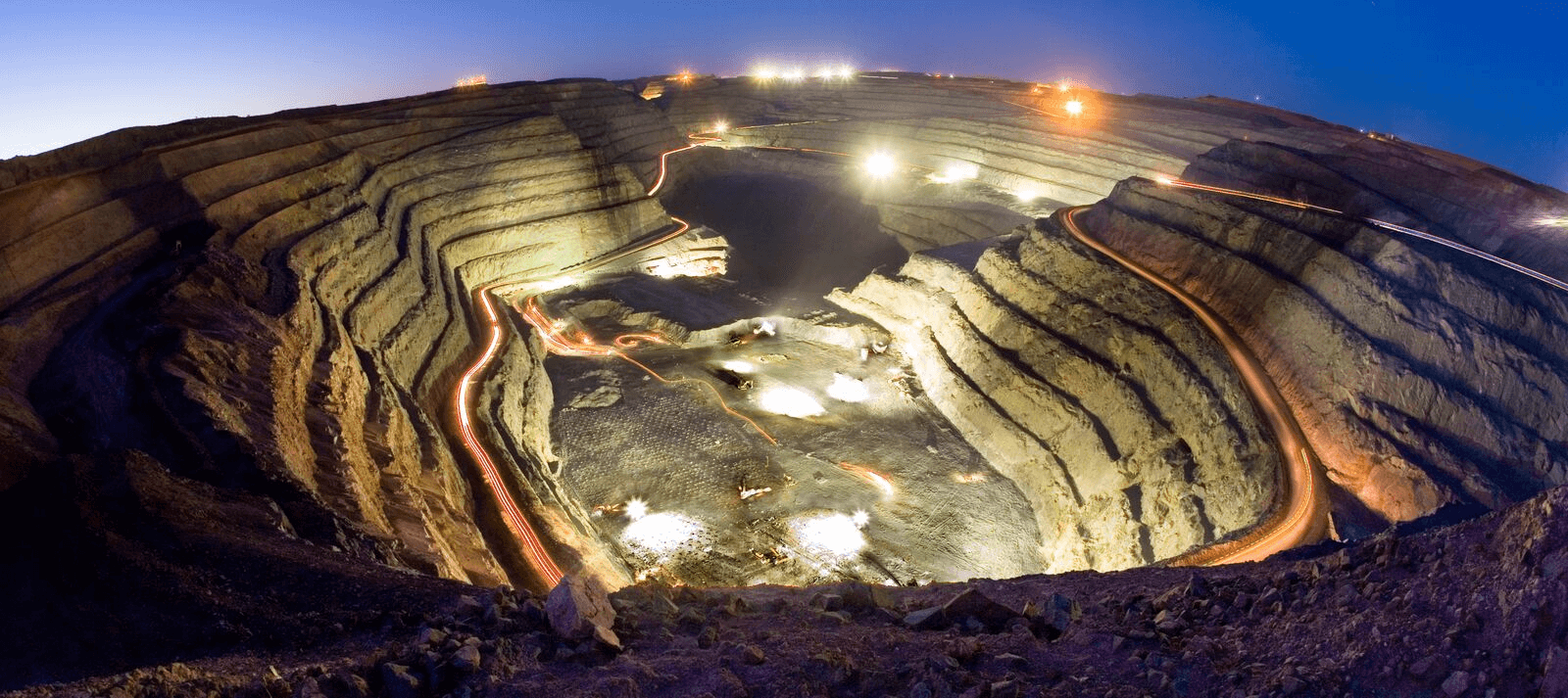
Roustabout drones have now become common place on Australian mining sites. Most sites employ drone data service organisations or pilots who can deploy drones to within minutes to respond to any production needs, such as:
- Quick and easy mineral mapping and surveying.
- Hazard identification and reduction.
- Aerial surveying of stockpile management. Volume and placement can be accurately measured for improved inventory, and financial management.
- Remote operational management and planning for legal standards compliance such as tailings dams' levels and creating sediment and water flows.
- Monitoring and optimisation of haulage road networks.
- Mapping and generation of practical 3D reconstructions and surface models for before and after drilling and blasting assessments.
- Exploration and survey imagery of areas difficult to access on foot.
- Eliminates the need for, and associated risks of manual survey measurements in tailings dam management.
Mapping with drones using photogrammetry
Photogrammetry is the process of obtaining information about a physical object or environment using photographic images and other electromagnetic radiant imagery. For the purposes of drone surveying, a series of drone images containing geospatial data are overlapped to create a survey map. Each pixel of each image contains its own georeferenced spatial location based on GPS coordinates. Using RTK or PPK correction automation accuracy can be as accurate as +/- 2.5cm from a drone altitude of 100m. This creates the basis of the survey map and would be used regularly as part of the mining exploration and mine project planning stage. This valuable data would be used to research and calculate operations and earthworks estimates vital to the mine going into production.
These are four of the most common survey maps used:
- 3D point cloud – primarily to assist in planning and design of earthworks or open pit construction.
- Orthomosaic maps – topographic map of site accurate to +/- 2.5cm.
- Digital terrain model (DTM) - uses additional information to define terrain in any areas where LIDAR data alone cannot effectively do the job alone.
- 3D textured mesh – for accurate estimate calculations of the amount of earth that needs to be removed to order to commence site mining operations.
The benefits of drones to the mining industry in Australia
Accuracy
Photogrammetric mapping and surveying methods are extremely accurate. This is particularly useful in stockpile management where the software integration of thousands of data points simplifies this usually difficult and problematic area for mine managers. The identification of surface variability then helps to prevent safety issues that affect stockpile subsistence. The direct flow on of this then leads on to diminished errors in stockpile volume calculations.
LiDAR data capture adds an additional level of accuracy with an extremely thick point cloud. This is beneficial in volumetric measurements for stockpiles. The accuracy of drone captured LiDAR point clouds in pinpointing surface variability in extremely accurate maps adds to the planning capability of mine site operators.
Speed
Using drones to capture data on site is up to 30 times faster than traditional methods – both for surveying and inspection. Drones increase flexibility and convenience in both time management and personnel, as any site employee can be trained to fly sub two kilogram drones.
Quality and safety
High quality imagery aids in the identification of safety hazards on the site without the risk associated with traditional, manual surveying teams being exposed to them. Danger zones and hazards can be easily identified and eliminated with minimal disruption to the general workflow of the mine site – both personnel and machinery.
Real-time monitoring
Progress of mine construction, production and inspection can be monitored remotely saving the cost of hundreds of workhours and freeing up the workforce. Capturing high resolution imagery of the mine site, over time, can help delineate progress to remote offices and important, but irregular, visitors such as stakeholders.
Australian innovation
The Australian mining industry leads the world in methodology and technology, and drone services are just one of the exciting innovations being harnessed in the field. New applications are imagined, tested and trialled regularly. Drones are uniquely suited to the mining sector where a combination of unforgiving terrain, a dangerous and unforgiving environment, remote location, and vast distances/large sites, make logistics and workflow management difficult. Drone services, LiDAR and photogrammetry can reduce these problems markedly while still producing highly accurate and useful data that limits exposure of surveyors and technicians to hazards while simultaneously delivering the quality of data those specialists require.
Measure Australia
Some mining companies have introduced drone data functions for photogrammetry, however the specialist capability of data as a service providers like Measure Australia are typically far more cost effective. The combination of a national pilot network, specialist in house processing and the latest technology – including expensive LiDAR hardware systems, which are usually not owned by mining companies – can readily be outsourced to partners like Measure Australia. Increasing regulations make this even more attractive to mining companies and quarry operators, providing the confidence that the end to end service will be delivered by drone data capture specialists.
Measure Australia is a specialist in numerous methods of audit and inspection and has deep experience mapping and surveying for resource sites. Mine sites carry particular challenges to their scale – covering many square miles – and having varied surface levels that can change regularly. This is a risk for survey teams and operators of all kinds and crews.
If the above information has piqued your curiosity and you're an interested player in the mining industry, then you need to contact Measure Australia. Use the chat button to your right or contact us with your site or project specifications so that Measure Australia can scope a solution for your requirements.


