Drone Aerial Mapping & Land Surveying
Also known as photo mapping or drone surveying, our leading service combines cutting-edge drone technology with advanced software mapping capabilities and reliable information delivery
Along with access to the latest drone hardware, we employ advanced machine learning and artificial intelligence capabilities to assist our specialists to make sense of everything we capture. We provide an intelligent output portal for all data, with our experienced team translating all results based on your specific needs.
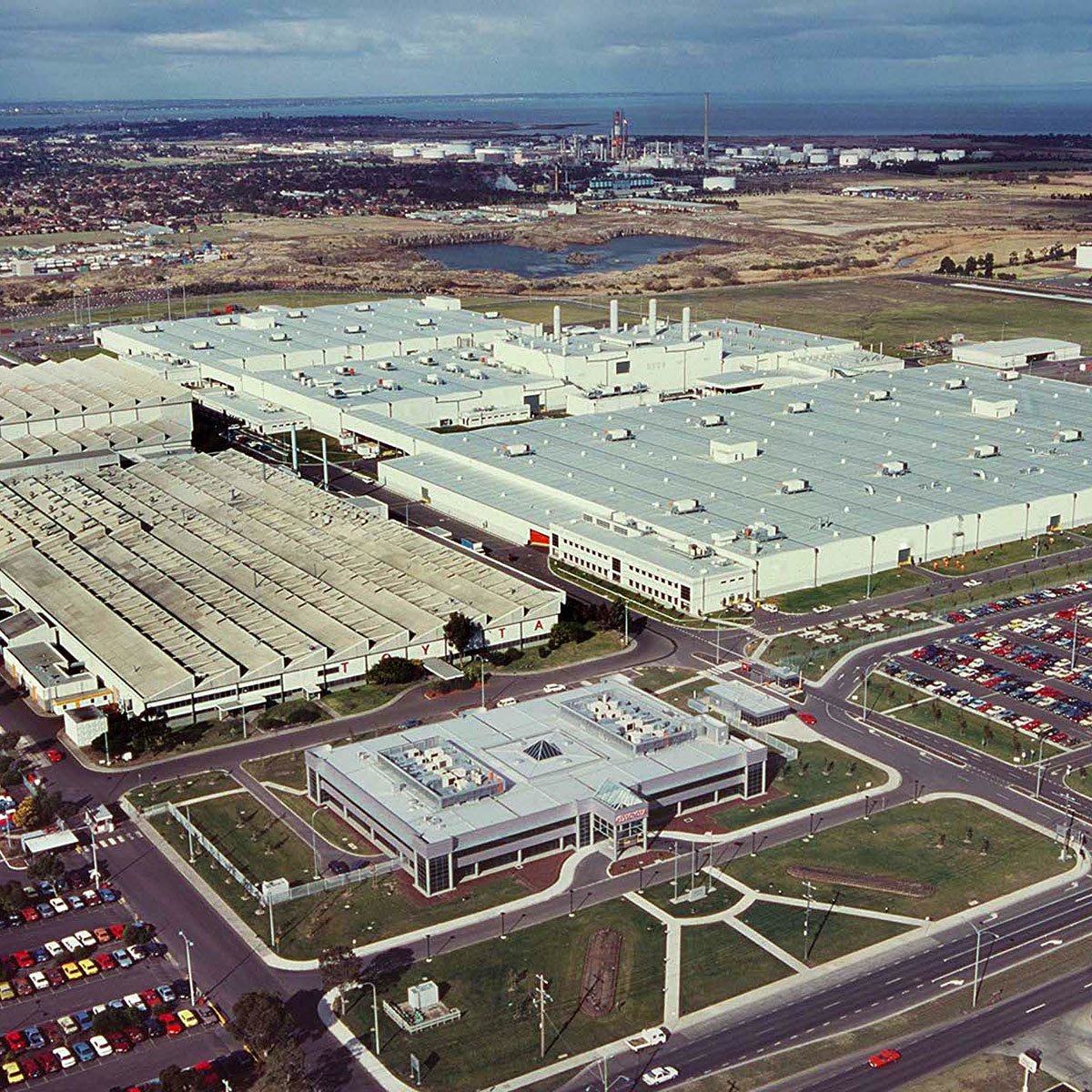
At Measure Australia, our unmanned aerial systems (UAS) provide accurate imagery in multiple formats whenever you need to understand the lay of the land. From asset inspection and change detection through to cut and fill volume calculations, we can inspect your most valuable assets and provide you with key insights from above.
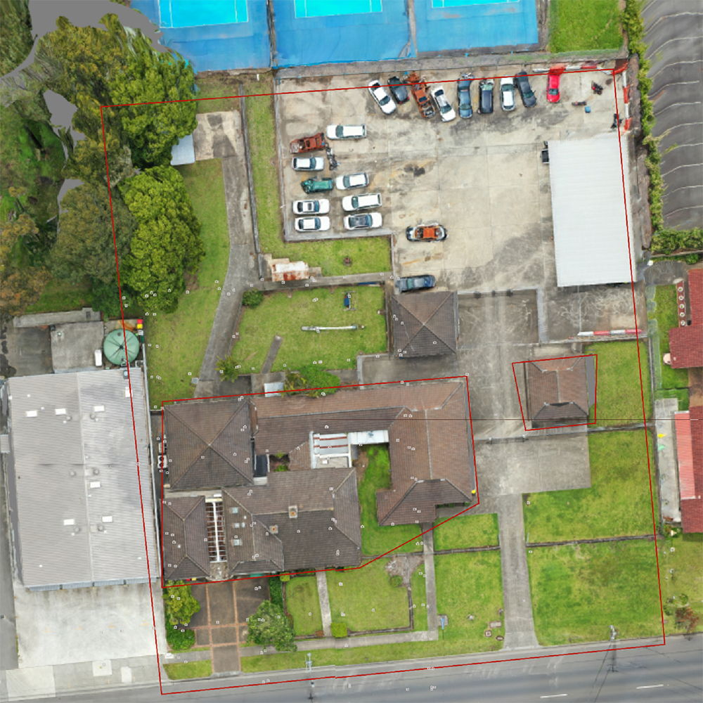
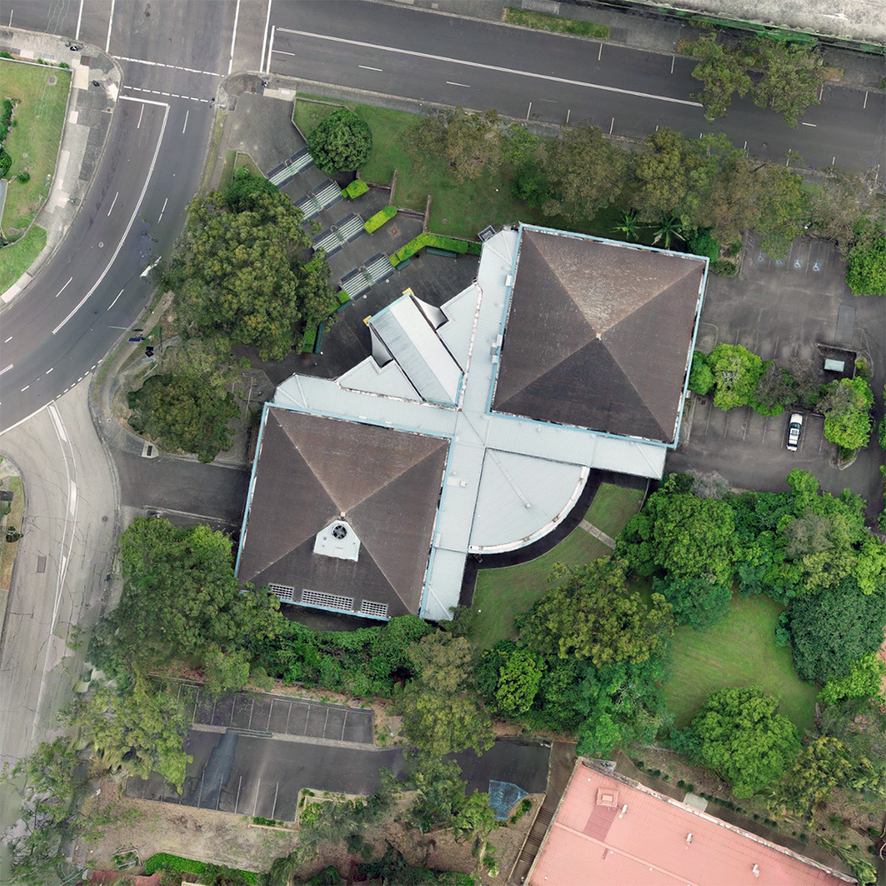
Orthographic mapping
Orthophotos are captured through aerial photography before being geometrically corrected or ‘ortho-rectified’ to a uniform scale. Our service produces digital orthophotos and orthophoto mosaics from raw aerial survey images. The end result provides a precise reference with the same utility value as a map.
Construction & urban planning
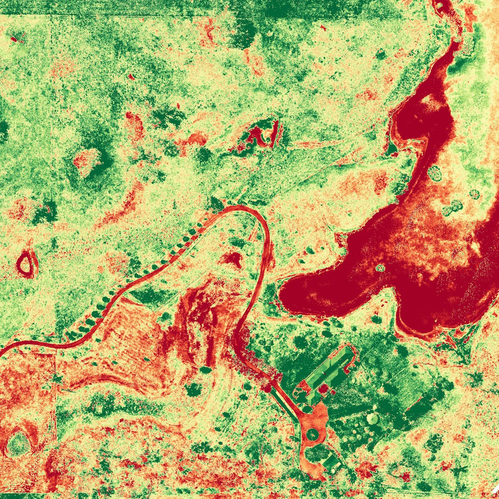
Agriculture & land management
Property management
Photogrammetry
Photogrammetry is used to determine the underlying geometric principles of landforms and objects through photographic imagery. By taking two or more photos in different positions, we can obtain accurate 3D coordinates through precise triangulation. This service provides the accuracy of GPS control with the power of aerial photography.
MA has extensive experience capturing photogrammetric data and delivering it in easy to use reports with calculations and recommendations.
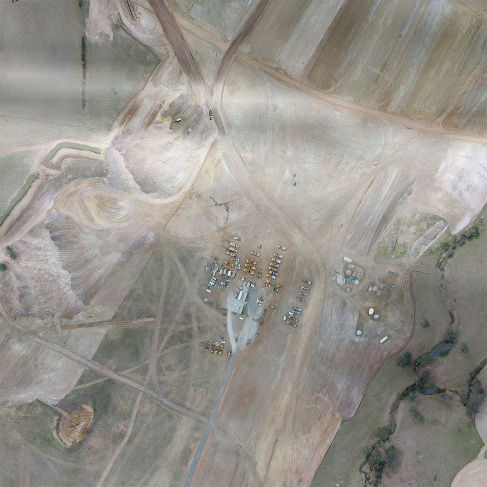
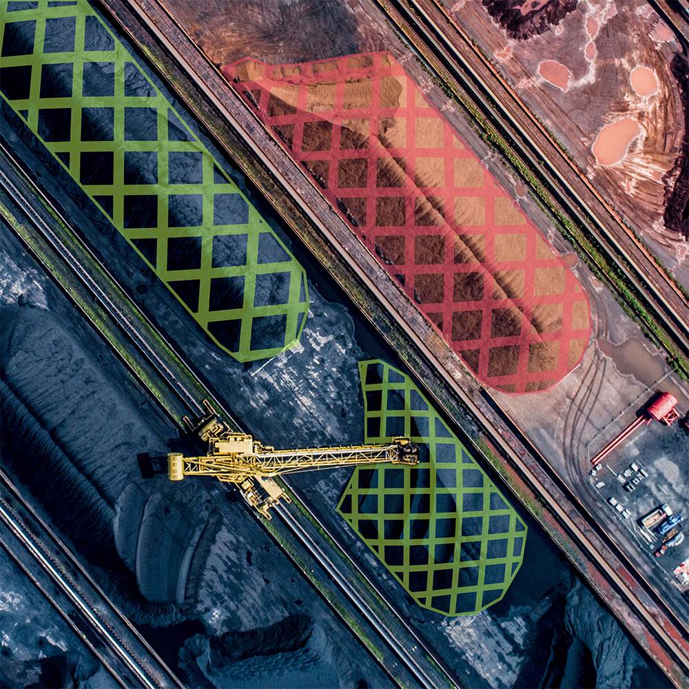
Stockpile management
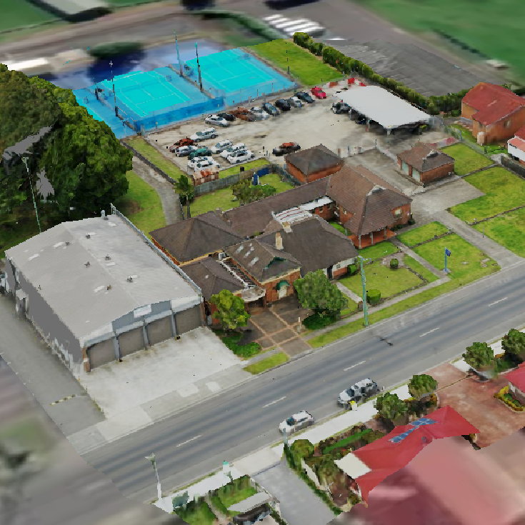
3D modelling
Advanced 3D models are a great way to visualize property and other assets. While useful, oblique images from drones often need to be rendered into useful 3D content. Along with our 3D mapping services, advanced modelling software allows us to create realistic 3D models and inspiring fly-through videos.
Survey method tool
MA has built a tool to help you decide the most efficient method for your next survey. Enter details on your required output and conditions in the survey area, and MA will deliver a recommendation on ideal survey method plus a bespoke survey capture report based on your answers.
Try this free tool to discover the best capture method for your next survey.

Customised report for your requirements